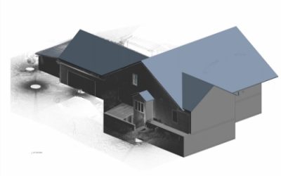
Location: USA Type of project: Residential Project size: ~4000f square feet Project sumary: This stunning residence, situated in the heart of the United States, boasts an expansive floor area of approximately 4,000 square feet. Our team...
GAINING TRUST BY PROVIDING QUALITY SERVICES
OUR PORTFOLIO
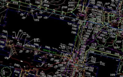
TOPOGRAPHIC SURVEY SAMPLES
Topographic surveys show the relief of a given property (its elevation, configuration, slope, orientation, etc.) as well as any artificial or naturally occurring features, such as buildings, improvements, fences, trees, and waterways. This type of...
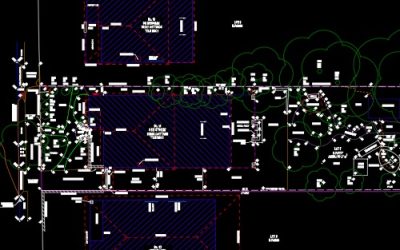
DETAIL SURVEY SAMPLES
A detail survey is carried out to locate all features on a piece of land. This includes both natural and man-made structures. Natural features include vegetation of all sorts – rocks, trees, stumps and so on. Man-made structures include anything...
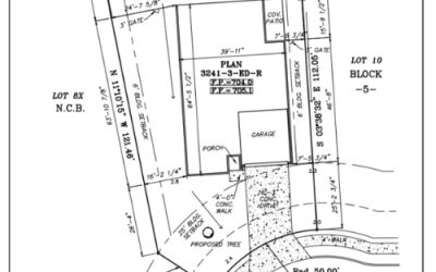
BUILDER SERVICE SAMPLES
As a part of our land surveying drafting outsourcing services, we provide drafting service for final survey, setback survey, form survey, plot plan, house plan, …etc. In particular, we commit to a 24-hour turnaround time. You send us data...
ALTA/NSPS SURVEY SAMPLES
An ALTA/NSPS survey is one that has been prepared to the minimum standards of the American Land Title Association (ALTA) or the National Society of Professional Surveyors...
WALK PATH PROJECT SAMPLE
Our project focuses on enhancing a 2.1 km walk path to a beach in Scotland. The overarching goal is to revitalize the pathway for both practical use and aesthetic delight. The project encompasses an overall plan carefully curated to blend...
CAR PARK PROJECT SAMPLE
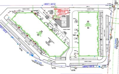
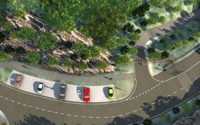
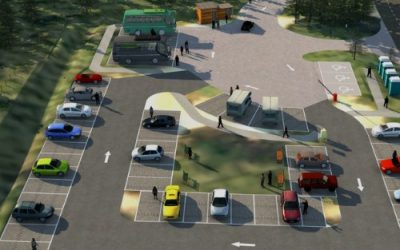
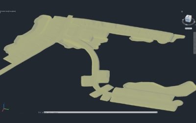
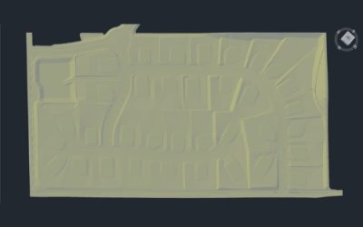
Our ambitious project in Scotland, encompasses a 1-acre site meticulously designed for accessibility and sustainability. With 69 parking spaces catering to cars, minibusses, motorhomes, and disabled visitors, our comprehensive plans ensure seamless...
87 ACRES SUBDIVISION PROJECT SAMPLE
Single-Family And Multi-Family Subdivision/Residential Location: Florida, US Project size: 87 acres with 150 residential lots Civil Outsourcing provided civil engineering services for the 87 Acres Subdivision Project in Florida, US in 2023. We...
50 ACRES SUBDIVISION PROJECT SAMPLE
Location: California, US Project size: 50 acres with 35 residential lots Civil Outsourcing provided civil engineering services for the 50 Acres Subdivision Project in California, US in 2020. We assisted with Public street improvement, Proposed...
SWEPT PATH ANALYSIS
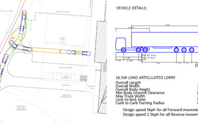
SWEPT PATH ANALYSIS WE OFFER A WIDE RANGE OF SWEPT PATH ANALYSIS SERVICES INCLUDING: – Car Park Design and Assessment – Petrol Filling Station layouts – Vehicle Access/Egress Arrangements – Office, Industrial and Retail...
Contact us today to see how our team can affordably fulfill your needs.
Feel free to drop an email at contact@civiloutsourcing.com or fill out the form here. We will be in touch!


