
LAND SURVEY DRAFTING
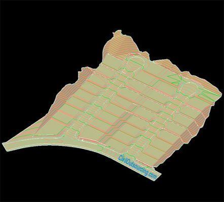
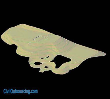
– Topographic Survey:
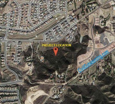
+ INPUT: Point files, photos of site, and project information ( Project name, project number, Benchmark, Legal Description,…)
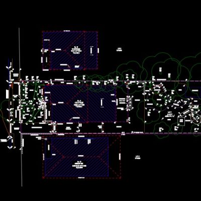
+ OUTPUT: Topographic survey presented by Civil 3D features. Topographic Survey will be used as an existing condition with existing surface and existing objects for the next steps of civil engineering design.
– ALTA and Topo Surveys:
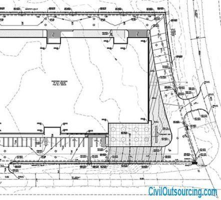
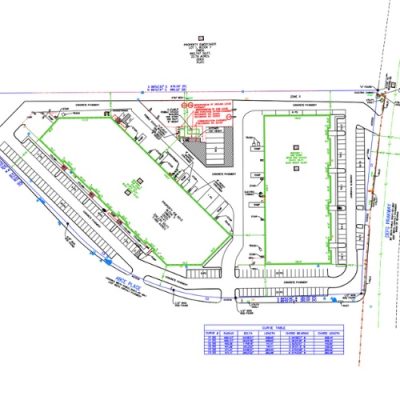
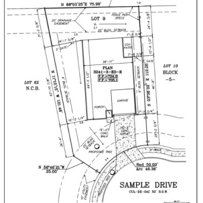
– Boundary Survey:
– TABC Survey:
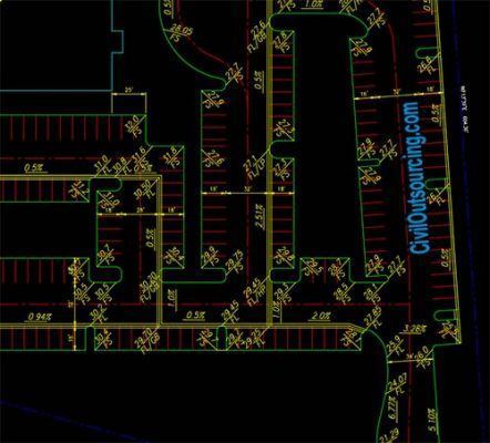
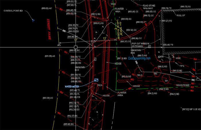
– Detail Survey:
– Internal Survey: